 |
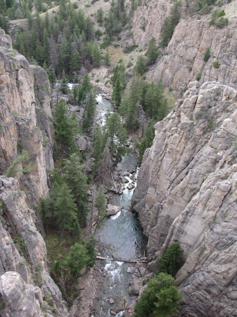
| Geologists say that rivers wear
down the rocks to create ravines such as this one far below the bridge
upon which we are standing. |
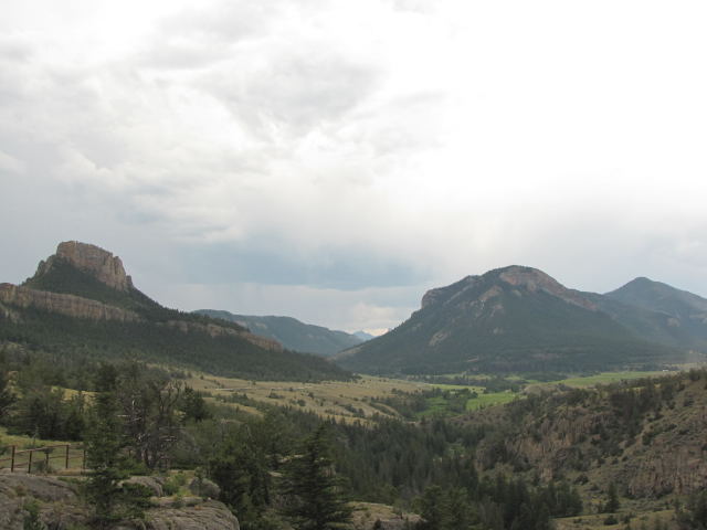 |
| The landscape along the highway
changed rapidly and we found ourselves overlooking grassy meadows with
buttes and promontories in the background. Though we have descended
in altitude, we would be climbing back up to Dead Indian Pass at 8,090
feet. |
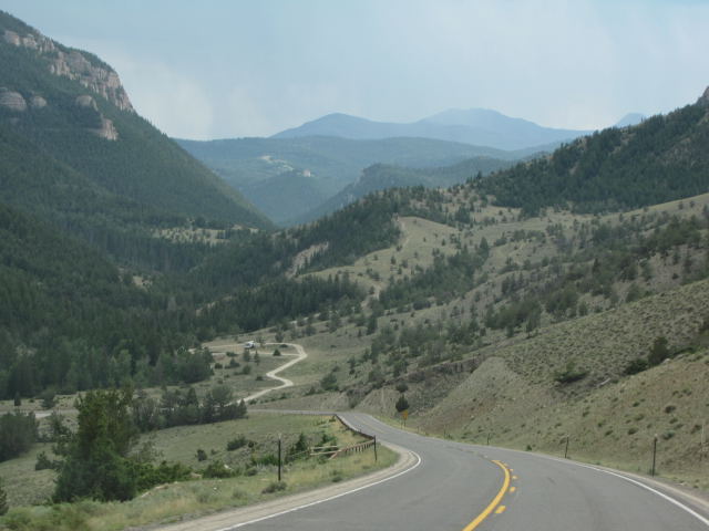 |
| What beautiful country this
is! God's artistry can be seen in every direction. |
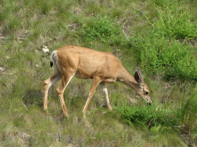 |
| Ann, especially, loves seeing
the abundance of wildlife in the west. This mule deer sure looks
healthy, doesn't she? |
 |
| As we stand on Dead Indian
Summit, we read on the information panels, that this ridge was the last
significant barrier for more than 600 Nez Perce Indians and their 2,000
horses as they fled the pursuing U.S. Cavalry in September 1877. By
then, they knew that the Army did not intend to leave any survivors so
they were fleeing for their lives. On the run for more than 60 days,
they hoped by crossing this pass and reaching the plains, they could join
their old allies, the Crows, or make it to Canada to join Sitting
Bull. They began climbing to this point from the valley below. By
this time, all were exhausted and heartbroken from the long journey and
aiding their sick and wounded. But they also knew that winter was
closing in. If they could just make it over this mountain fast
enough, they just might escape the Army and regain their freedom.
Accounts tell us that the Nez Perce left a wounded warrior on this
mountain. He was discovered and killed by Army scouts. Thus,
this site became known as "Dead Indian Pass". |
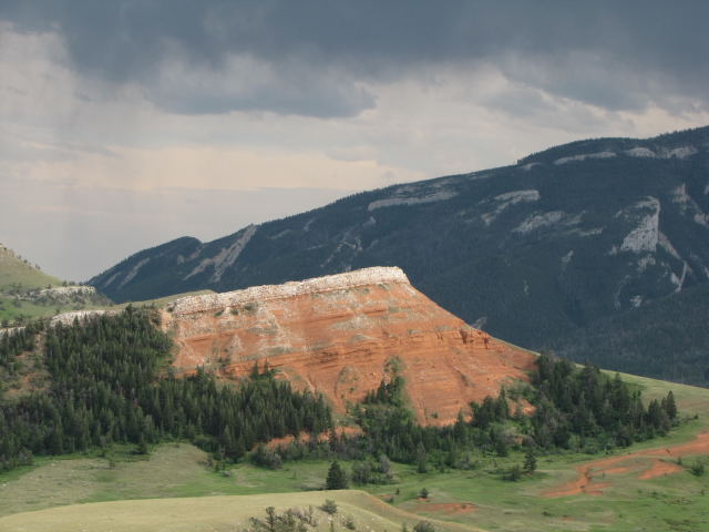 |
| As we descended the pass and
continued toward our campground, we began to see red rocks, so picturesque
against the background of the Shoshone Forest through which we were
traveling. |
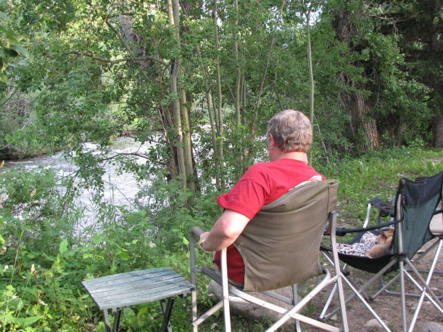 |
| And, back at our campsite, Jerry
and Harley spend a little quiet time by Rock Creek on our last night
here. Tomorrow, it's back to Wyoming and a small town called
Thermopolis. |